So, I have been mapping on OpenStreetMap for quite a long time. My OpenStreetMap profile says I’ve been a mapper since August 02, 2021.
Instead of being a pure project history, this post will sound more like a Yanagi lore (no, not ZZZ Yanagi, but you get the idea), despite being essentially a correlated data goldmine.
The beginning
The story originated back in the days when I was a KMITL student. I heard about OpenStreetMap from an OpenTechSummit Thailand’s weekly community call, which I got quite amused by a community member introducing everyone to the StreetComplete app.
While most of my friends just chill around on their off days, or after classes, I looked around my dormitory back then and there was quite a lot of missing things showing up in StreetComplete. I thought that sounded like fun, so I started surveying the area.
Not long, it extended to the malls I visit, or even some roads where I got a friend to drive for me while I did the StreetComplete thing for multiple roads.
Related: check out my presentation on Improving accessibility data on OpenStreetMap at Bangkok Open Source Hackathon 2023 (slides, video)
It was quite a lot of fun, until I hit StreetComplete’s limits. The app was pretty good for newcomers checking the existing things and filling out information, but it cannot add new things.
Stepping up to advanced tools
I thought it’s time to check more advanced mapping tools and messed around with Vespucci and JOSM, but did not quite get the hang of it (yet). Things got better when I finally got to know the iD editor, especially with its tutorial thing introducing us to the concept of Points, Lines, and Areas.
I found iD to be pretty powerful, to the point I stopped surveying areas with my phone and the StreetComplete app for a while. The interest spiked so hard I was carrying a 14" HP EliteBook around just to add buildings.
When I finally got the hang of editing things properly, I finally got though the higher entry barrier of Vespucci, and finally stopped carrying a full blown laptop around. I switched to adding items via Vespucci on-site, before completing the data with a more friendly UI of iD editor at home.
This is how I got the KMITL area to look like, before I gave up mapping that area.
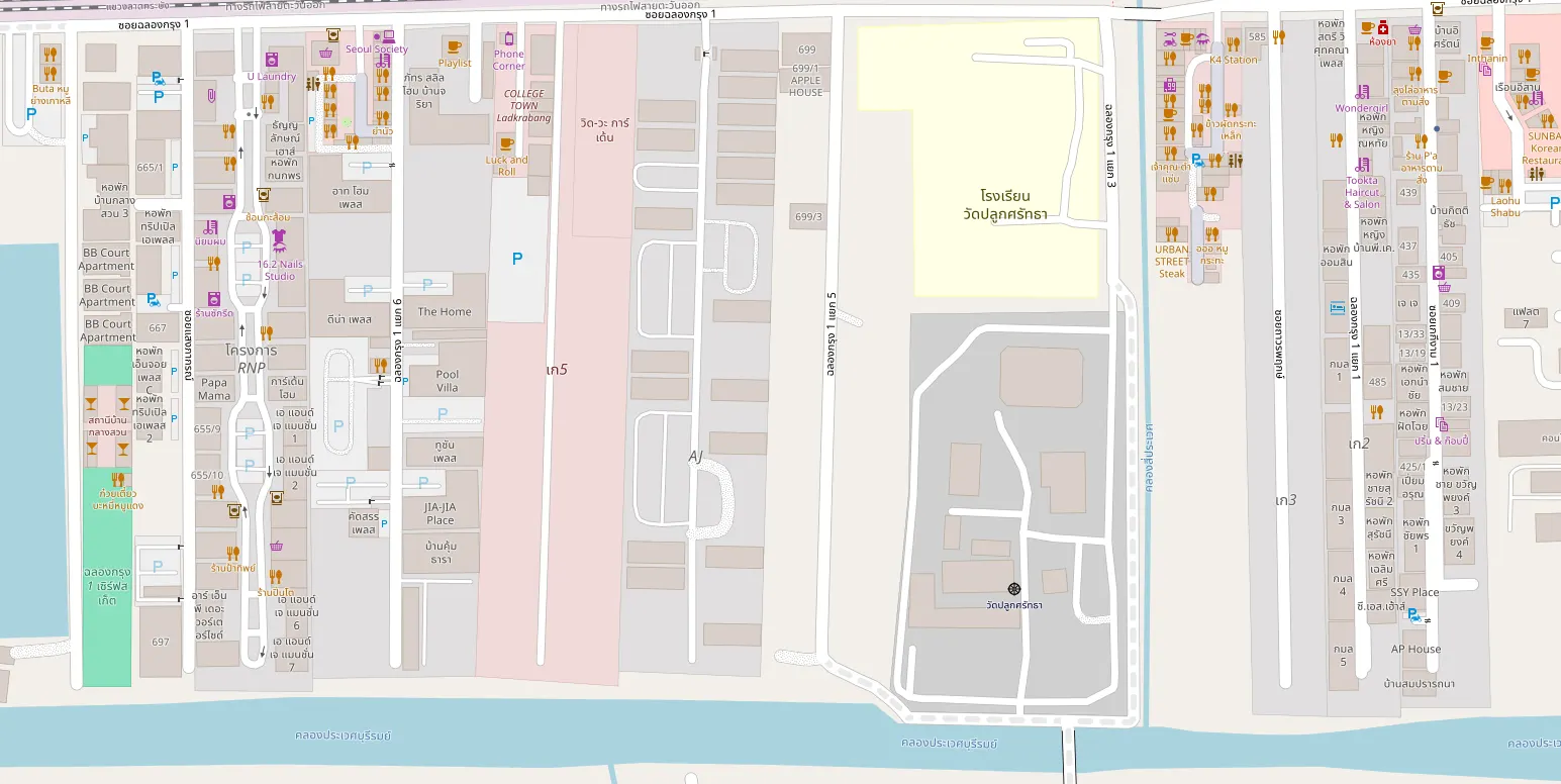
With some more experience in armchair mapping, now known within the project as Satellite Imagery Tracing, I also mapped quite a few villages I’ve been to, or find interesting:
- Prinyada Light Rama 5 Village
- หมู่บ้านมังกรทอง
- Bangkok Boulevard Ratchapruk-Rama 5-2
- The City Ratchapruek - Pinklao
- Prinyaluck Light Rama 5 Village
Exploring indoor mapping
During the final university year, I explored another field within OpenStreetMap: Indoor Mapping.
It was a messy experience hunting down tools that could let me do it with my OpenStreetMap mastery at the time, but I finally ended up with a tool that was a little rough on the edges, but worked good enough. It was OSMInEdit.
As I figured things out, I made a FOSS4Change video for it and also did a presentation at FOSSASIA Summit 2025 (slides, video)
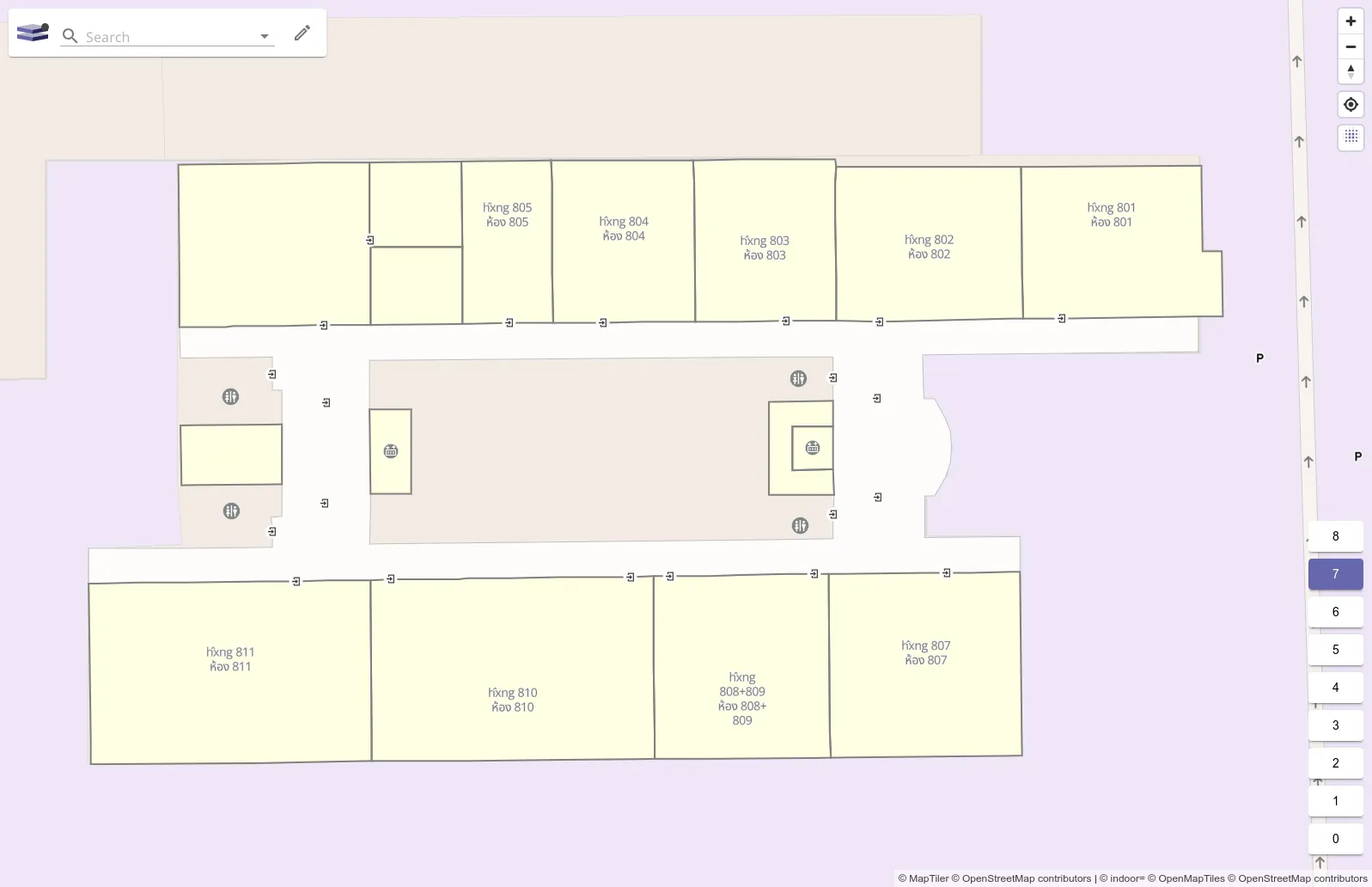
After fighting with KMITL’s อาคารปฏิบัติการรวมวิศวกรรมศาสตร์ 2 (aka ECC building), this was how I got it to look like so far
Disaster response
Apart from the normal mapping things I do by interest, there was also a parallel track, which was also what formed into current Mapping Thailand project’s goal.
As I saw the news about some southern flood news back in 2024-2025, and coming across the idea seen on Missing Maps, I decided I could also do something similar, in a lower overhead fashion. That led to quite a lot of armchair house mapping in Chumphon:
New neighborhood
As I graduated from KMITL, I looked around for places around the outskirts of Bangkok (cheaper housing) that still have decent public transit, and ended up around Sukhumvit 105 (Lasalle) and mapping a bit of it 1, 2, 3, 4, 5, 6, 7, 8, 9, 10, 11, 12
That’s pretty much it until TechTransThai got the monthly newsletter at the start of 2026, which Mapping Thailand/OSM-shaped records go in there instead of being buried deep down in my personal OSM contribution history.
That’s all!
That’s what we’ve been up to for now. Stay tuned for our next blog post via Matrix, RSS or Telegram!